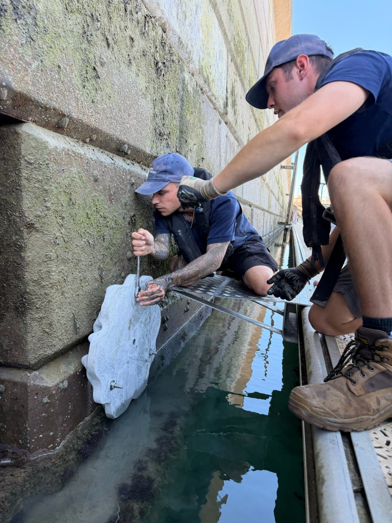
Ports of Jersey Engineers aligning the tiles (note the reverse face configuration).
The Projects Time Line
2012 The beginnings & Seasearch
2013 The 1st Reef Survey
2014 The No Mobile Gear Zone
2015 The Maerl survey
2016 The Granville Bay Treaty
2017 The JNCC database
2018 Channel Islands Seasearch Survey
2019 Marine Mission and the Butterfield Touch Tank
2020 Seagrass, Cove clean-ups, community.
2021 Marina biodiversity, COVID & the rock pool challenge
2022 Elizabeth Castle bioblitz
2023 Grey Seals
2024 Pink Sea Fan eDNA / Bats/ Alderney
2025 JICAS & BRUVs / Sauvage / Wrecks / Maerl
2026 6 KEY PROJECTS
-Assisting in the removing of the existing wall tiles and installation of the new monitoring sites, followed by weekly surveyslls
-A detailed habitat study of the Sauvage and Souarde Reefs.
-Reassessment of Mooring damage to the St Catherine’s Seagrass Meadows using our -Thermal Imaging Drone, plus image analysis carried out by Simon Watkins
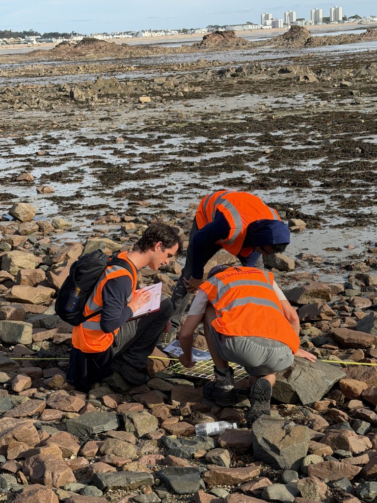
-Survey of the Ramsar area being lost in Phase 1 of the States of Jersey, Havre des Pas
Coastal Flood Alleviation Scheme Flood threat defences. (Assisted by JICAS students).
-Seabed imaging carried out by Phil Sayers of the Soaurde, Sauvage, Rigdon and Ruaua. Interpretation by Mike Sheldon & Simon Watkins.
-Detailed 360 degree video survey of habitats and geology of Souarde and Sauvage Reef systems and creation of a detailed habitat map. (In support of the NTZ application and assessment of the ecological status and human impacts).
-Portelet BRUV deployments and species, analysis and reports assisting the Jersey Government report on the NTZ being submitted by the Marine Resources section.
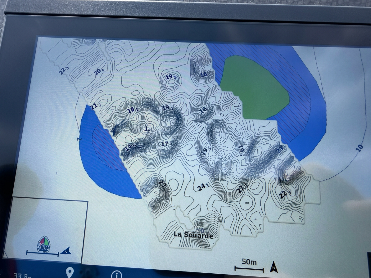
Contour imaging of the Souarde Reef
